
•Mosaic tiles.
•Project to common coordinate system
(Albers).
•Vertically warp DEMs so elevations
match at edge of overlap (3000-m transition).
•Subsample to 5-m cell size.
Build a contiguous
DEM.
Merge IfSAR 5-m DEM
and LiDAR 1-m DEM.
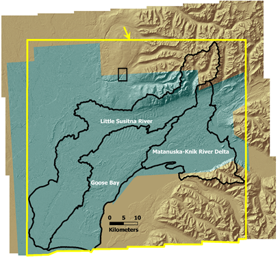
Pilot
basins
1-m LiDAR
5-m IfSAR
Merged, sampled to 5-m
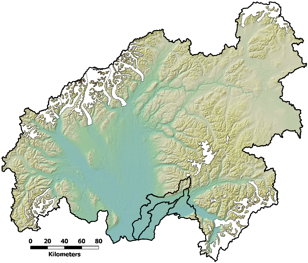
Matanuska-Susitna Basin
Pilot Area