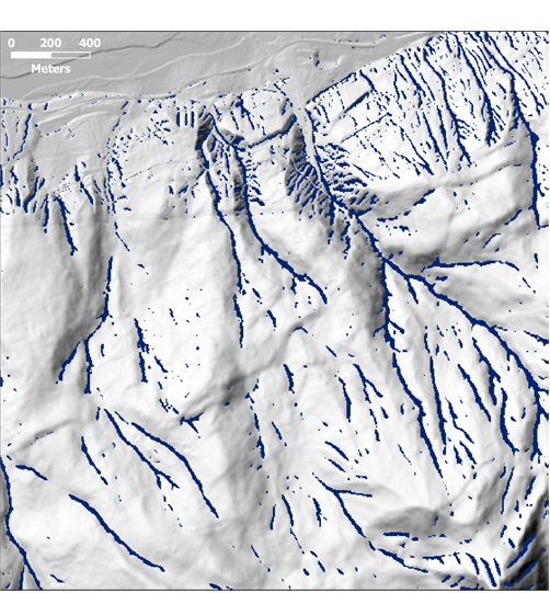
Candidate Channel Initiation
Sites
We seek the upslope-most points that meet all
criteria.
We further require that “channel-indicative”
topography persist along a flow path for some specified
distance (e.g., at least 30m).
Too
short
short


OK

