TODO: To change the footer's content go to Dr.Explain menu Options : Project Settings : HTML (CHM) Export : Setup HTML Template and Layout
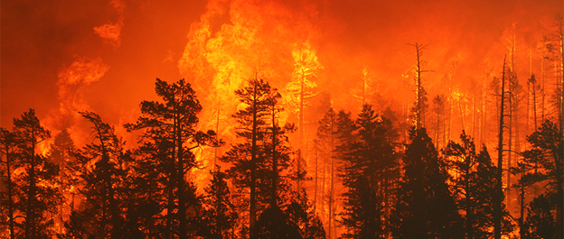
Fire Risk
Fire risk is equal to fire frequency The index can be used in humid environments such as the western areas of Washingotn, Oregon, California, coastal British Columbia and southeast Alaska. The index can also be used in semi-arid environments in the western US and beyond to indicate susceptibility to gullying and concentrated sheet wash erosion. See Warning about using Slope Stability Models.
Shallow landslide susceptibility is also displayed as a channel attribute elsewhere in NetMap Portal.
If these attributes are not available for your own watershed, please contact us. See more.
The shallow landslide attribute uses a combination of slope steepness and hillslope curvature to predict susceptibility to shallow landslides based on the model of Miller and Burnett 2007). The index can be used in humid environments such as the western areas of Washingotn, Oregon, California, coastal British Columbia and southeast Alaska. The index can also be used in semi-arid environments in the western US and beyond to indicate susceptibility to gullying and concentrated sheet wash erosion. See Warning about using Slope Stability Models.
The shallow landslide susceptibility index here is a channel reach attribute; to see how hillsope attributes are transferred to channels, see here. The shallow landslide reach attribute can be used to evaluate whether it overlaps with important in-channel characteristics such as fish habitats (using the Environmental Overlap function in NetMap Portal).
Shallow landslide susceptibility is also displayed as a hillslope attribute elsewhere in NetMap Portal.
If these attributes are not available for your own watershed, please contact us. See more.