TODO: To change the header's content go to Dr.Explain menu Options : Project Settings : HTML (CHM) Export : Setup HTML Template and Layout
Menu
Index

Fire Severity

 
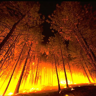
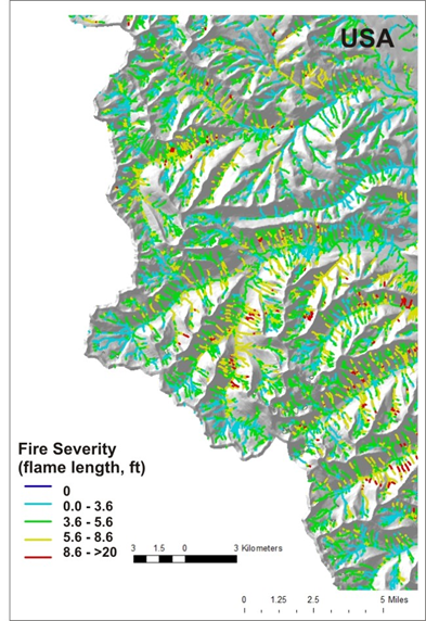
Fire severity is predicted using the USDA, Forest Service Flammap model. It is based on existing vegetation fuels, topography and simulated weather controls on fire risk. Fire severity is defined as flame length (feet).
 
Fire severity is shown as a channel attribute so that fire severity can be overlaid on other important watershed attributes such as erosion potential and aquatic habitat to find critical interactions. A fish-eye view of fire risk.
 
If these attributes are not available for your own watershed, please contact us. See NetMap's full online Technical Help. Using NetMap tools in ArcMap, see what is possible both in pre-fire and post-fire analysis.


Fire severity mapped to individual 100 m stream segments.
The help manual was created with Dr.Explain