TODO: To change the header's content go to Dr.Explain menu Options : Project Settings : HTML (CHM) Export : Setup HTML Template and Layout
Menu
Index

Floodplain Upwelling

 
Field name = [FPchg]
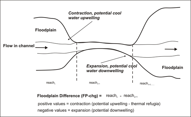
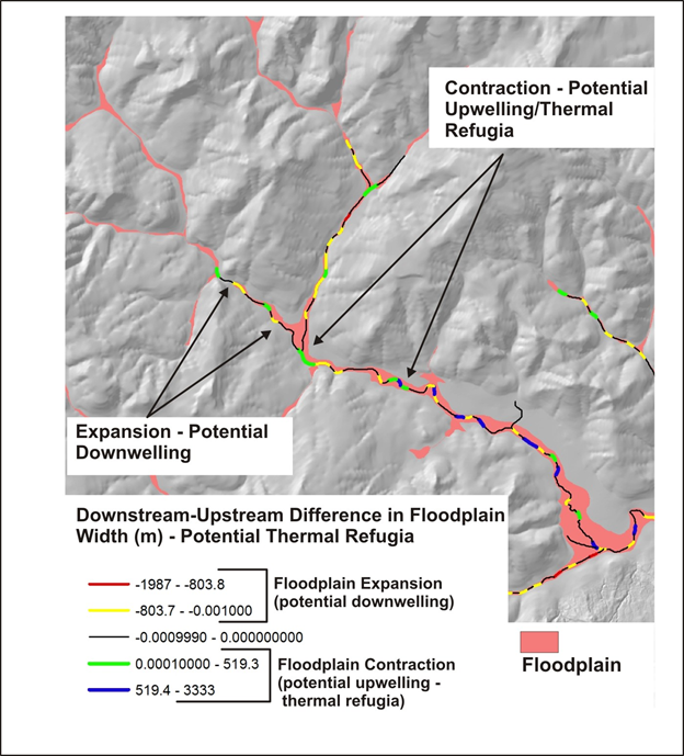
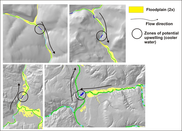
This attribute identifies areas where valley floors and their floodplains expand and contract. Where sigificant narrowing occurs, hyporheic flow upwelling can occur, which can lead to cooler waters merging into the stream flow (See Figure). Conversley, where floodplains abruptly expand, downwelling can occur. Positive values represent provisional upwelling or potential cool water refugia. If these attributes are not available for your own watershed, please contact us.   See NetMap's full online Technical Help.


The help manual was created with Dr.Explain