TODO: To change the header's content go to Dr.Explain menu Options : Project Settings : HTML (CHM) Export : Setup HTML Template and Layout
Menu
Index

Erosion

Erosion processes in NetMap Portal include shallow landsliding and debris flows.
 
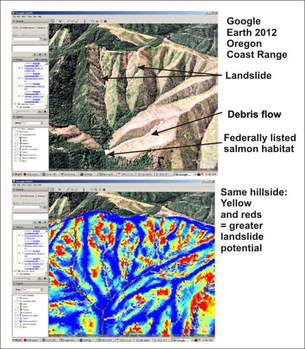
NetMap's shallow landslide potential index (GEP) can be used to consider the potential for processes that range from shallow landslide, debris flow and to gullying and sheet wash in convergent areas on hillsides.
 
 
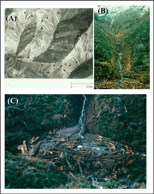
GEP is best suited for shallow landslides: (Left panel) Shallow landslides in the Oregon Coast Range and showing map attribute. (Right panel) Debris flows in Oregon and Washington. See NetMap's debris flow attribute.
The help manual was created with Dr.Explain