TODO: To change the footer's content go to Dr.Explain menu Options : Project Settings : HTML (CHM) Export : Setup HTML Template and Layout
Road Stability
NetMap includes the ability to calculate road stability, but those predictions are not included in NetMap Portal. The pixel based predictions are too large to be accomodated by the Portal. Get NetMap tools or see your NetMap shapefiles for this data. To learn more about this feature, go here. See examples below. See Warning about using NetMap's slope stability tools.
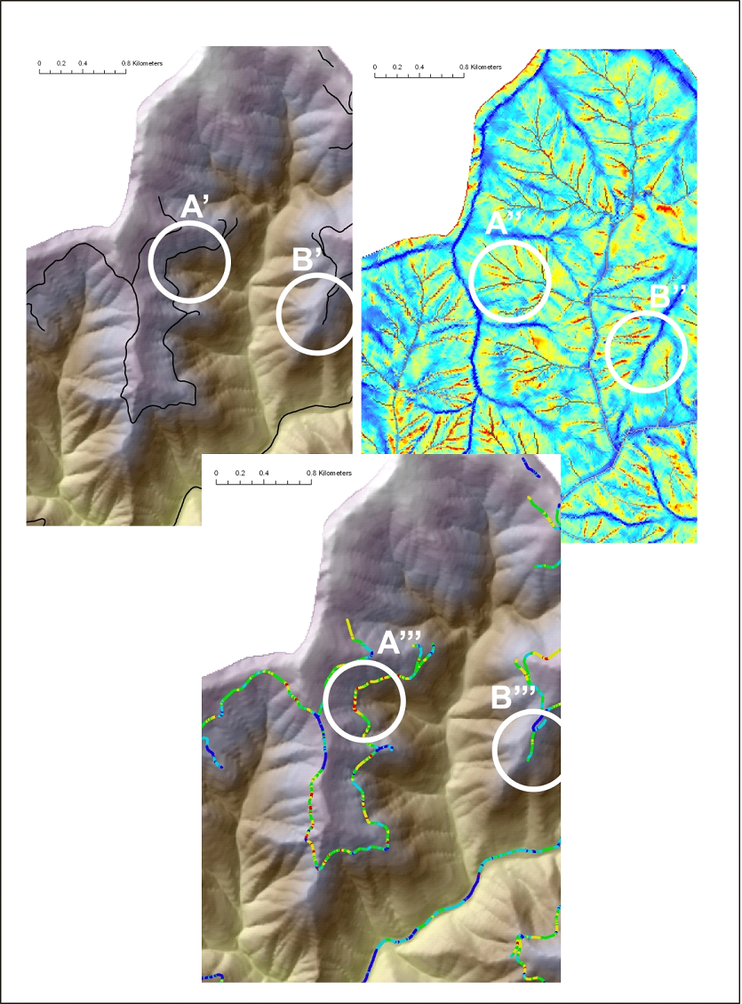
Figure 1. NetMap’s Road stability tool is used to identify where roads intersect hillslope areas of potential stability concern, using parameters such as shallow landslide potential, generic erosion potential, and deep-seated landslide terrain. The road network, discretized at the scale of pixel cells, is overlaid onto the erosion potential map and individual road pixels are classified accordingly. Roads crossing high hazard areas (A’, A’’, A’’’) and crossing low hazard areas (B’, B’’, B’’’) are identified.