NetMap's Watershed Assessment
Watershed Attribute The locations of all roads in floodplains; floodplain extent is included within the Watershed Assessment Package: Aquatics/Fish Habitats.
Data Type: road (line)
Field Name: roadx; Common name: Road layer
Units: na
NetMap Module/Tool: Roads
Model Description:
Road layers are broken at pixel cell boundaries and they are intersected with the predicted floodplains (see Aquatic/Fish Watershed Assessment Package). A default elevation of the channel (DEM elevation) of 2 times bankfull depth is used; other floodplain elevation ranges can be chosen.
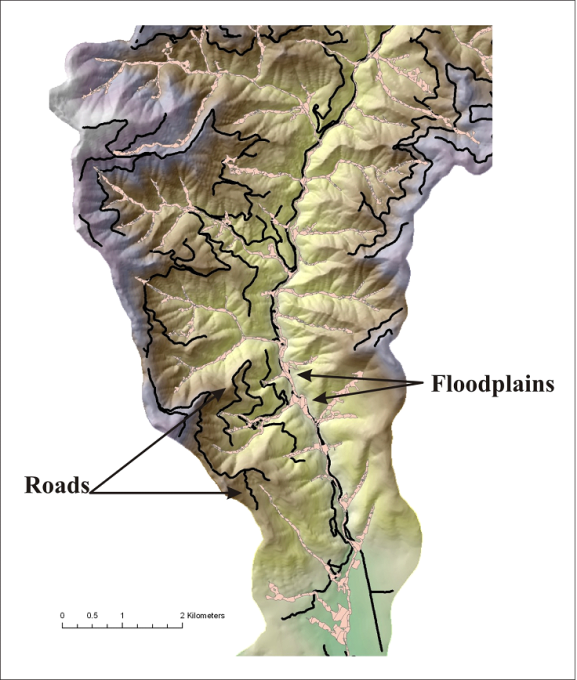
Figure 1. Locations of roads and floodplains are displayed in a basin located in northern California.
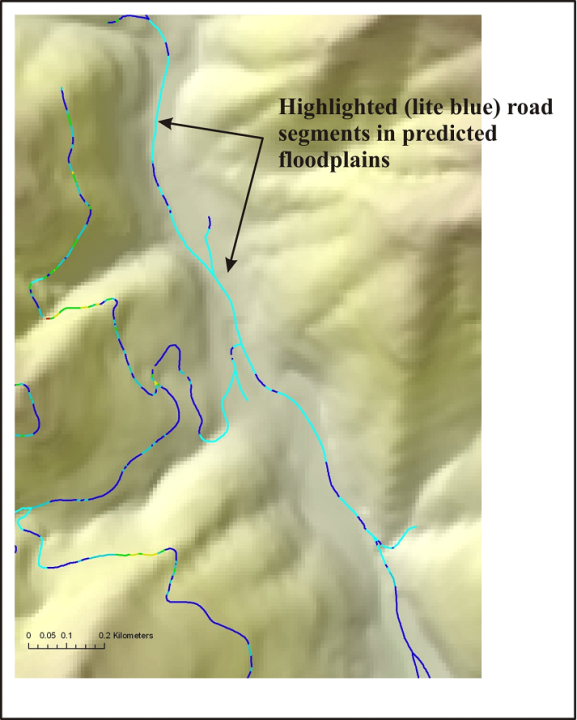
Figure 2. The road segments that may be located within floodplains are highlighted (in light blue). The identified road segments (which should be field verified) could potentially be sources of sediment to streams as well as impinging on channels and limiting migration. Road restoration programs could target such areas. Road segments in floodplains can also represent road surface erosion.