NetMap's Watershed Assessment
Watershed Attribute: Wildfire Probability
Data Types: Raster; lines (reach)
Field Name:
Raster: pFire
Reach, segment (line): pFire, Wildfire Probability-segment scale (reach)
Reach, averaged downstream (line): pFire, Wildfire Probability-averaged downstream (reach)
Units: Probability, 0-1 (1/p = recurrence interval)
NetMap Level 1 Module/Tool: Vegetation/Fire/Climate - Fire Cascade
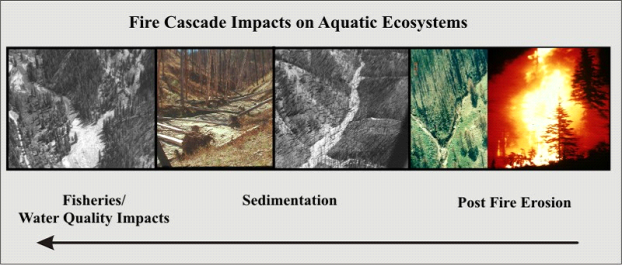
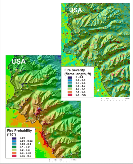
Model Description: Predicted wildfire probability using data available from Western Wildland Environmental Threat Assessment Center (WWETAC). See examples below. Wildfire can be a significant watershed stressor leading to a cascading sequence of impacts on aquatic ecosystems (Figure 1).
Figure 1. A “fire cascade” is the cascading sequence of impacts that begins with high severity fire, accelerated erosion, increased channel sedimentation and large impacts on fisheries and water quality.
Figure 2. Predicted fire probability as raster (lower). See Figures 3 and 4 for a fish eye view of fire probability.
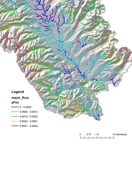
Figure 2. The predicted fire probability represented in channel reaches. The values aggregated and averaged downstream are shown in Figure 3.
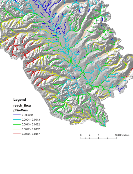
Figure 3. The predicted fire probability represented in channel reaches, aggregated and averaged downstream.